by Polis Center | Aug 30, 2018 | Community Development, Demographics, Poverty & Income
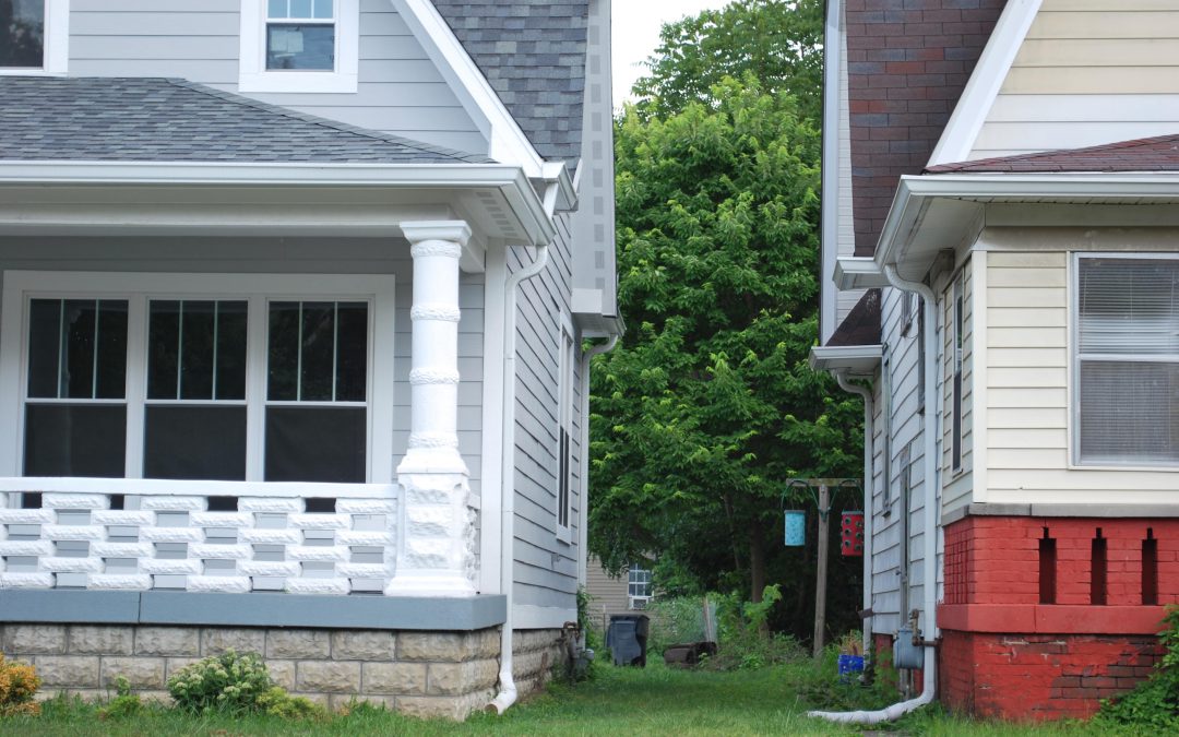
This analysis will use data from Tract 3547 because census data is available for that area, even though it does not precisely match the boundaries of the neighborhood. Tract 3547 extends to Washington Street, but St. Clair Place stops at Michigan Street. The tract...

by Unai Miguel Andres | Aug 22, 2018 | Community Development, Environment
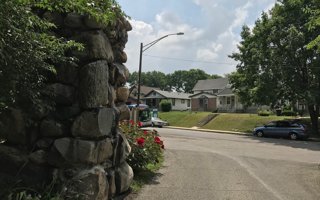
On July 12th, the Fishers Redevelopment Commission approved a resolution authorizing the city to begin the development of a new public park. The park will be located on 70 acres currently being used by Irving Materials Inc. and will be developed in 2019. While...

by Polis Center | Jul 17, 2018 | Community Development, Demographics, Economy, Education, Poverty & Income
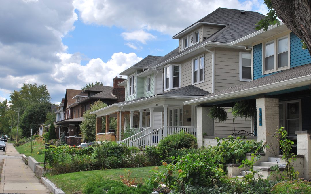
The census tract analyzed here is bounded by 38th Street, Boulevard Place, 30th Street, and the canal. The area where Northwest Indianapolis converges with the wealthy Golden Hill neighborhood has experienced an increase in white residents, millenials, and...

by Polis Center | Nov 30, 2017 | Community Development, Economy, Poverty & Income
SAVI just published the latest data release (2016) from the Home Mortgage Disclosure Act (HMDA). Banks report lending activity by census tract, recording information about the loan and the borrower. We are going to dig into this data to find areas where mortgage...

by Polis Center | Nov 29, 2017 | Community Development, Government & Policy
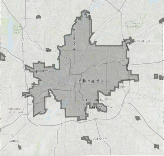
Indianapolis adopted a new zoning ordinance called Indy Rezone, effective May 2016. A zoning ordinance generally consists of list of regulations defining what property owners are permitted to build in each zone, accompanied of a map defining where particular zones are...


