by Polis Center | Sep 27, 2018 | Children & Families, Demographics
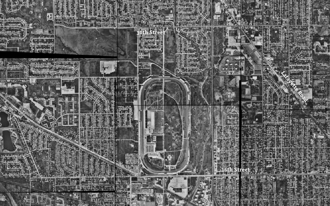
This analysis explores Marion County census tracts 3403, 3404, and 3407. This is roughly the area from 16th Street to 38th Street and from Tibbs Avenue to Moller Road. Explore this area's Community Profile Though they developed as all-white suburbs between 1940...
by Polis Center | Sep 11, 2018 | Economy, Poverty & Income
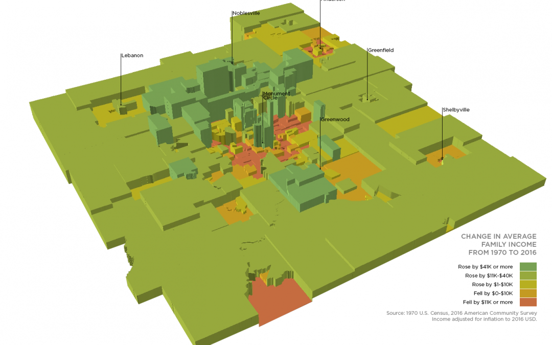
Since 1970, average family income has risen in half of the neighborhoods (census tracts) in the Indy metro. But 24 percent of census tracts have seen declines of more than $20,000. Most of these are located in Indianapolis’ urban core, particularly on the east,...
by Polis Center | Aug 30, 2018 | Community Development, Demographics, Equity, Poverty & Income
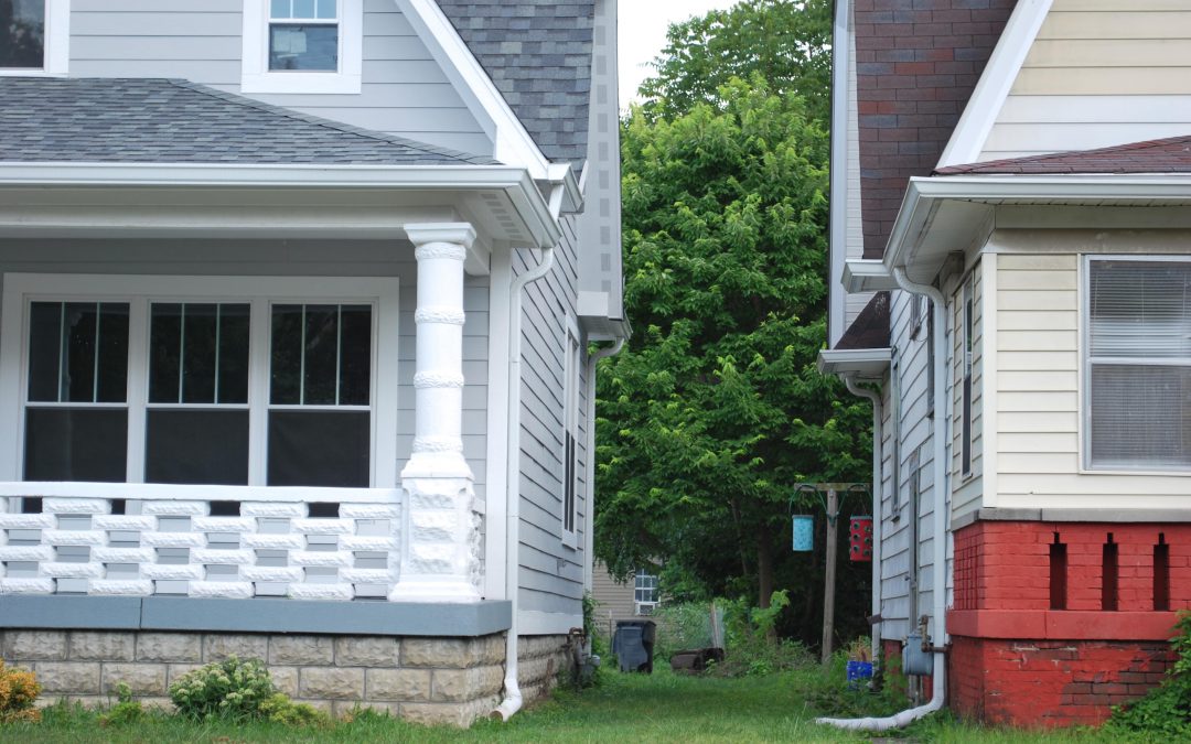
This analysis will use data from Tract 3547 because census data is available for that area, even though it does not precisely match the boundaries of the neighborhood. Tract 3547 extends to Washington Street, but St. Clair Place stops at Michigan Street. The tract...
by Polis Center | Jul 27, 2018 | Community Development, Demographics
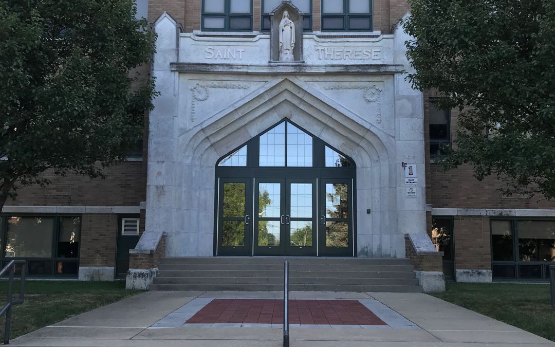
Bungalows in Little Flower. These homes are typical of the neighborhood’s housing stock, developed largely in the 1920s and 1930s. Matt Nowlin, The Polis Center While Little Flower is attracting more college-educated residents in recent years, it does not seem...
by Polis Center | Jul 17, 2018 | Community Development, Demographics, Economy, Education, Equity, Poverty & Income
The census tract analyzed here is bounded by 38th Street, Boulevard Place, 30th Street, and the canal. The area where Northwest Indianapolis converges with the wealthy Golden Hill neighborhood has experienced an increase in white residents, millenials, and...


